
Racine ZIP Code Coverage
The official USPS label list groups eight Racine postal codes, while the City of Racine GIS ZIP layer contains only five numeric values. The difference is important. USPS products describe mail delivery; the city layer describes polygons used in its own mapping service. Official sources inspected did not provide reliable neighborhood boundaries or current post-office station names for every code, so the table preserves those limits instead of guessing.
| ZIP Code | Areas Covered | Post Office | Notes |
|---|---|---|---|
| 53401 | Racine postal group | Verify with USPS | Delivery or PO-box role not confirmed |
| 53402 | Racine and Wind Point grouping | Verify with USPS | Also a city GIS value |
| 53403 | Racine postal group | Verify with USPS | City planning says 53402/53403 serve many city residents |
| 53404 | Racine postal group | Verify with USPS | Also a city GIS value |
| 53405 | Racine postal group | Verify with USPS | Also a city GIS value |
| 53406 | Racine postal group | Verify with USPS | May overlap surrounding communities |
| 53407 | Racine postal group | Verify with USPS | Delivery or PO-box role not confirmed |
| 53408 | Racine postal group | Verify with USPS | Delivery or PO-box role not confirmed |
USPS groups 53401, 53403, and 53407 together; 53402 with 53404; and 53405, 53406, and 53408. The city ZIP layer lists 53402 through 53406 plus a value shown as 534HH. Its meaning was not established in an official source. Treat that value as a data question for the GIS custodian, not a postal code.
Compare Racine Postal Maps
The USPS ZIP Code Lookup is the authority for a current postal assignment. Enter the city and state to review the label list, or use a complete street address for a specific destination. The City GIS administrative service can then show how that code sits beside the city boundary, wards, districts, subdivisions, Census layers, and other municipal polygons.
Those layers are not interchangeable. A ZIP is a delivery construct, a ward is an election district, a subdivision is a recorded land unit, and a city boundary marks municipal jurisdiction. Wind Point's appearance with 53402 demonstrates the problem in local terms. A postal label can cross a government line without changing which assessor or clerk holds the record.
The captured Racine GIS ZIP service exposes the city polygon layer and its coded values.
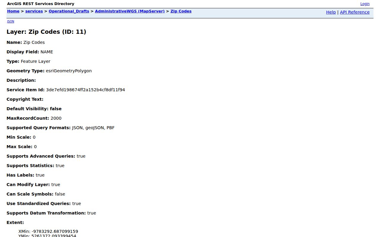
The map layer is useful for comparison, but USPS should still settle the delivery code for one address.
Find Racine Residents by ZIP
No official portal found in the research offers a simple browse-all-residents-by-ZIP screen. Instead, use ZIP as one field in a careful address or parcel search. County GIS stores both Postal Zip 5 and Postal Zip +4 with owner and parcel attributes. MyVote requires ZIP in its address form. Badger Voters uses county, municipality, ward, election, and district filters rather than a documented ZIP filter.
- Confirm the postal assignment with USPS. Keep the complete street, unit, city, state, and ZIP.
- Open the City ZIP layer to compare the postal polygon with Racine's city boundary and other administrative layers.
- Query the county parcel layer by Postal Zip 5 or Postal Zip +4. Keep the PIN, site address, postal address, and last-update date.
- Use MyVote only for an exact address match. If it fails, check unit format, mailing city, and jurisdiction with the clerk or WEC.
Once a code has narrowed the area, the Racine street directory provides the address-level workflow. That handoff prevents a broad postal zone from being treated as a block or household list.
Query Racine ZIP Fields
The Racine County tax-parcel layer supports advanced queries, spatial-distance searches, pagination, and exports. It caps one response at 1,000 records. Its mailing fields sit beside site-address, parcel, owner, district, structure, assessment, and last-update fields. That makes it strong for testing a ZIP against parcels, but not for proving who occupies them.
| ZIP-related field | How to interpret it |
|---|---|
| Postal Zip 5 | Five-digit mailing ZIP stored for the parcel contact |
| Postal Zip +4 | Four added delivery digits where populated |
| Postal City | Mailing city, which may differ from municipality |
| Site Address | Physical parcel location, not the owner mailing address |
| Last Update Date | Freshness marker that belongs with any extracted result |
Pair the ZIP fields with the Parcel Identification Number and site address. The owner mailing address may be outside Racine, while the parcel itself is inside the city. A blank structure field also does not prove that no building exists; the municipal assessor may hold better detail.
The captured county parcel service shows the field-rich source behind ZIP-based parcel checks.
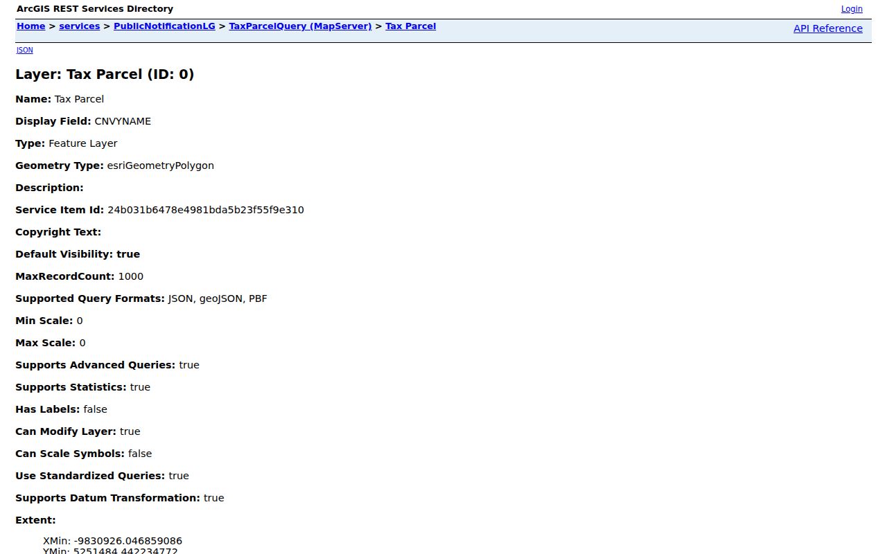
Its postal and site fields should be compared, not merged into one address.
Racine ZIP Search Quirks
A 1975 SEWRPC addressing report counted at least 105 duplicated street names and 292 duplicate streets across Racine County. It described 13 property-numbering systems and roads that could change names at town or city lines. The report proposed a county baseline, but no official source confirmed that every recommendation was adopted.
This history explains why street, municipality, and ZIP must travel together. Main, State, Washington, and Wisconsin were among repeated names. An old directory may also use a ward, lot, block, or former street label with no ZIP at all. Use the 1858 map or Sanborn sheets to translate the historic address, then apply a modern postal code only after the current parcel is identified.
Note: A ZIP may help normalize a modern address, but it should never be retrofitted to an old record without a parcel or map match.
Read Racine ZCTA Data
The Census Bureau ZCTA explanation separates USPS ZIP Codes from ZIP Code Tabulation Areas. ZCTAs are generalized statistical shapes used for Census data; they are not exact postal delivery boundaries. American Community Survey five-year products have included ZCTAs since 2011.
Use a ZCTA only when the question asks for an area statistic. Use USPS for mail assignment, City GIS for Racine's administrative polygon, and county parcel records for a site. A ZIP code directory remains accurate only when each number is tied to the kind of geography its source actually represents.
Racine ZIPs and City Limits
The city layer contains 53402 through 53406, while USPS groups additional Racine codes. That mismatch is evidence that postal products and city polygons serve different purposes. It is not a data error by itself. Verify one address through USPS, inspect the city boundary, and use the parcel's tax district or municipality to choose the right local office. If GIS metadata remains unclear, ask the city or county GIS custodian for the layer definition under Wisconsin Public Records Law.
- ZIP vs ZIP+4
- A ZIP is the five-digit postal code. ZIP+4 adds a finer delivery segment.
- PO-box ZIP
- A code used for post-office box mail rather than a mapped residential delivery area.
- Unique ZIP
- A code assigned to one high-volume organization, not a neighborhood.
- Carrier route
- A mail-delivery path within a ZIP, which can cross other local boundaries.
Boundary check. A Racine mailing label does not by itself prove that a parcel lies within the City of Racine.
Current station, delivery, and PO-box roles were not confirmed for every Racine code in the inspected static source. Use the live USPS tool or postal counter rather than assigning a role from the number alone.